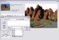
PCL to PDF Console Program 64-bit 13.05
PCL Tool SDK 64-bit - Option III is designed for Capturing / Converting PCL to PDF or PCL to PDF/A. Option III converts COMPLEX PCL into raster/vector PDF or PDF/A formats, or raster XPS format while extracting ASCII text.
$495.00
Download (32 Mb)