Free bing map images download downloads, showing 31 - 40 of about 50

StitchMaps 2

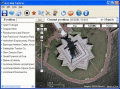
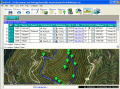
Stitch maps together to build one overall map. Join and calibrate your Google Earth images to one shared map. The program StitchMaps simply joins these maps. The result is a map that is suitable for programs using raster scan.

EdiTrail 1.0

Create/Edit/Display/Management/Import/Export Trails/Routes in a simple and flexible environment divided in a data table for the management of trails and a map resulting from numerous providers, (Bing, Arcgis, Ovi, Yahoo, etc).