Geotagging of photos with GPS track data
Picmeta PhotoTracker 1.5
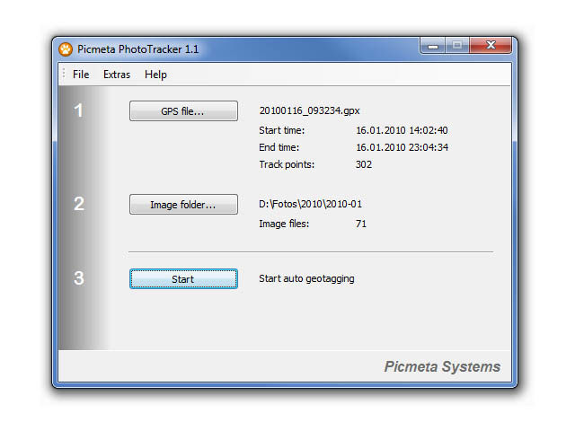
Picmeta PhotoTracker automatically geotags photos based on track information from any GPS device (.gpx files). It writes GPS EXIF data to JPG, TIFF and RAW formats. Any existing photo metadata such as EXIF, IPTC, Makernote will be left completely intact.
Picmeta PhotoTracker can write the coordinates directly into RAW files, but you can also choose to create XMP sidecar files instead. The sidecar file format is Adobe standard which is supported by many, but not all applications.
Picmeta PhotoTracker can write the coordinates directly into RAW files, but you can also choose to create XMP sidecar files instead. The sidecar file format is Adobe standard which is supported by many, but not all applications.