|
|
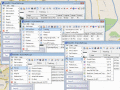
RoboGEO 5.6.20
Geotag photos from a GPS. Stamp the images or write to the EXIF headers. Export Google Maps, KML KMZ files for Google Earth, Shapefiles (SHP), AutoCAD DXF files, or Flickr. Import from tracklogs, waypoints, GPX or place names.
free download trial (9.28 Mb)
|
|
|
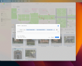
Photos Workbench 1.0
Companion to Apple Photos for Mac. Photos Workbench works with Apple Photos to help you organize, name, and compare your photos.
free download trial (5.54 Mb)
|
|
|
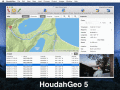
HoudahGeo 4.0.1
One-stop photo geocoding for the Mac: Know where you took that photo. Write geotags to EXIF, XMP & IPTC. See your photos in Google Earth. GPS device optional. Use with iPhoto, Aperture or Lightroom
free download trial (17.64 Mb)
|
|
|
|
|
Pages : 1
|
|
|
|
