|
Range: the land surveying Project is a program for the registration of the project of a land surveying of the ground areas made according to requirements, confirmed by the order of Ministry of economic development and trade of the Russian Federation from August, 3rd, 2011 #388.
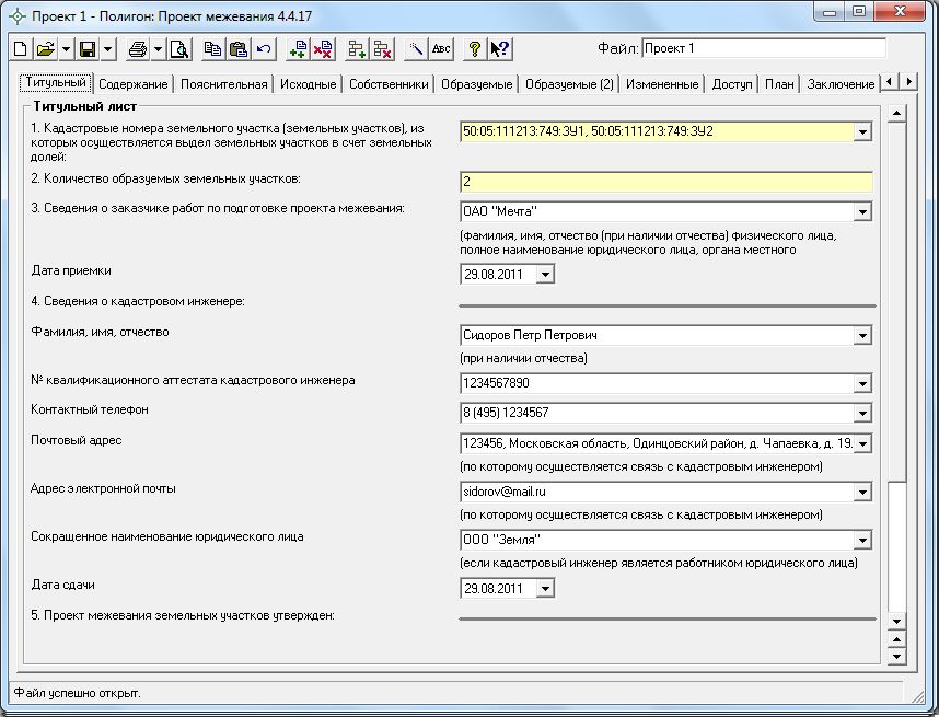
The program "Range: the land surveying Project" is the independent program having the intuitive user interface, is simple and convenient, serves for creation of the project of a land surveying of the ground areas.
In the program you can conveniently and quickly enter all necessary data, and coordinates to import from files of various formats, to keep the information, to unpack both text, and graphic sections of the project of a land surveying or in Microsoft Word (Microsoft Office), or in free office program Writer (OpenOffice.org).
Graphic sections of the project of a land surveying of the ground areas are formed in the same document automatically on available coordinates with use of the confirmed conventional signs, types of lines, colors.
Possibilities:
Input, preservation, editing of the data of a text and graphic part of the project of a land surveying of the ground areas.
Import of coordinates from MapInfo, Excel, Word, Range, from txt-files, csv-files (a format with dividers Tab or a semicolon) are files tacheometre or programs ObjectLand and personal computer EGRZ, a MIF-format (Map Info Format), a DXF-format (AutoCad).
Calculation of indicators (for example, from coordinates of points to receive the list of parts of borders, lengths of lines, the area), automatic filling of data, carrying over of the data from section in section, calculation of number and quantity of pages, maintenance formation. Work with multicircuit sites.
Automatic filling of templates of documents in Word or Writer the data entered by you - formation of text documents.
|